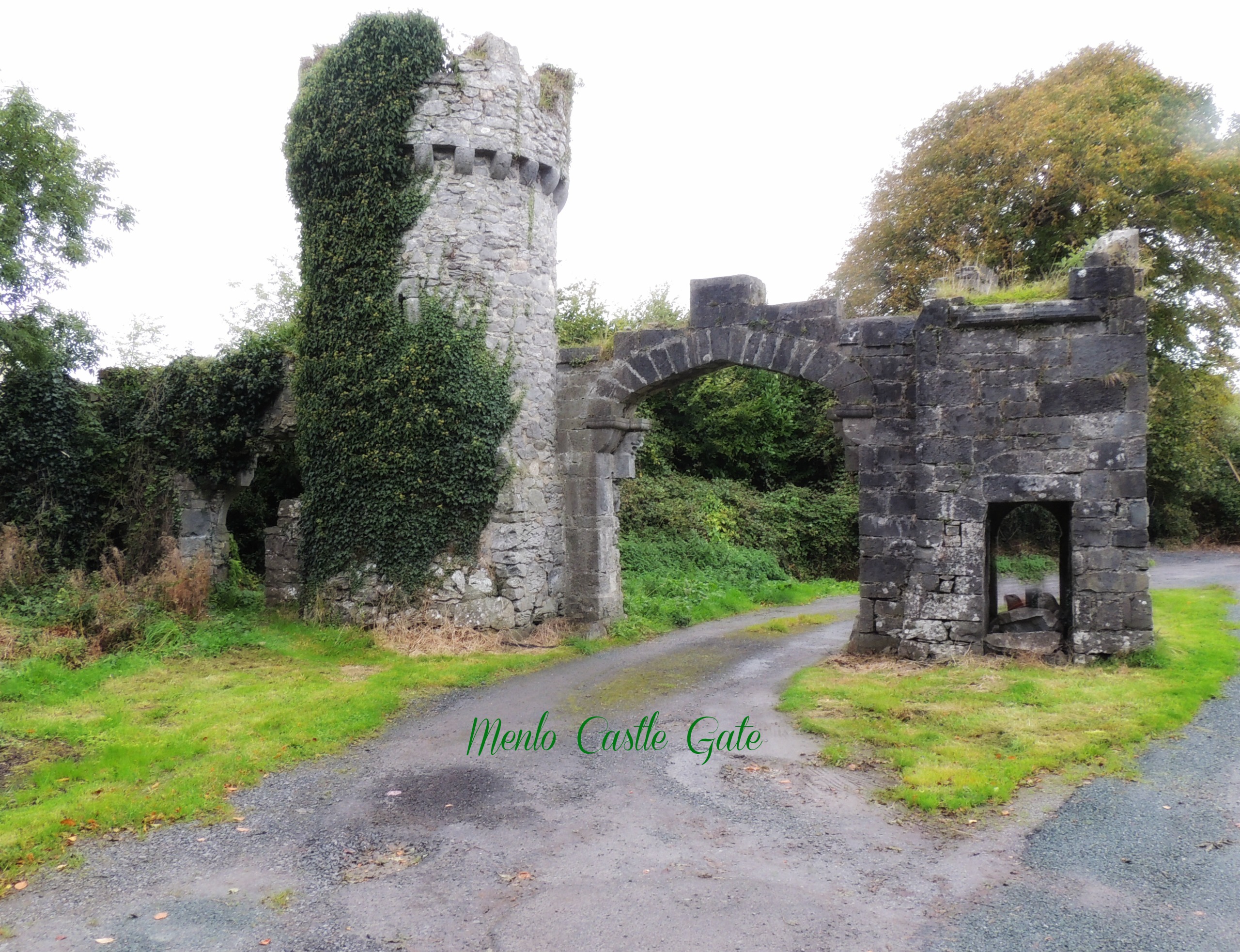

Who were The Tuatha De Dannan?
Now mind, this little snippet is taking in thousands of years of oral history and a myriad of legends and myths. Let me state now that I believe there was such a race of people, though probably not as they are often depicted. I’m going to tackle this subject as ancient history. OK, mixed with myths. (But then, I believe there was a King Arthur; just not the rewritten medieval version.)
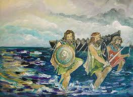
The People of the goddess Dana (or Danu) arrived in Ireland from the north, in ships. They set fire to those ships so they could never return from whence they came. Myth has them arriving in a cloud. Perhaps the smoke of the burning ships mixed with the constant Irish mists gave rise to this idea. The reason they left their homeland is not known. One account I read stated that the Tuaths came from Greece. They were tall with dark hair and eyes and pale skin. Maybe the present day ‘dark Irish’ are descendants of the Tuath. (Since I fit that description, I’m all for it.)
The Fir Bolgs were earlier inhabitants and many wars broke out between them. The Tuath prevailed, sending the Fir Bolgs to the hills and underground. Many who study Irish history felt that the rise of leprechauns comes from the displaced Fir Bolgs, who stole and harried the Tuaths after the wars. Another constant enemy were the Formorians. Some scholars, however, believe the Fir Bolgs and Formorians may be the same people; others see them as a type–good vs evil.
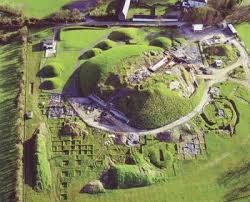
The Tuaths ruled Ireland and brought culture, art, architecture, druids, and magic. They were gifted in necromancy as well. They had four magical treasures; the Stone of Fal, Spear of Lug, Sword of Nuadu, and Cauldron of the Dagda. I’ll discuss this in a later post.
The final invasion (for the Tuatha De Dannan) came from the Milesians, a people from Portugal and Spain. According to Seumas McManus in his book, The Story of the Irish Race, the Milesians were a Celtic tribe scattered throughout Europe. A calling of the Clans went out and the clan gathered. It took years to build ships and for word to get to the scattered tribes. When they were ready, they set sail and landed in Ireland; their Land of Destiny.
Of course, they had to defeat the Tuatha De Dannan, which they eventually did. An agreement was made that each race would take half the land. The Milesians, apparently being a cunning people, divided Ireland in half; the Milesians would inhabit above ground while the Tuatha De Dannan would live in the Underworld–where they became the Fae/Fairies of Ireland. Mr. McManus points out that most conquerors despise those they’ve defeated, but not so the Milesians. They turned the Tuatha De Dannan into gods and goddess and as characters in their mythology.
In modern times, the Tuatha De Dannan have been used to influence elves and fairies. They have also been mentioned in movies and games. I remember Willow using the name as part of a spell. Have you heard the term in books or movies?
Do you believe they were an actual race or total myth? Or maybe a mix of the two? Whatever you believe, they are an interesting people with a rich history and have left an indelible imprint on Ireland.