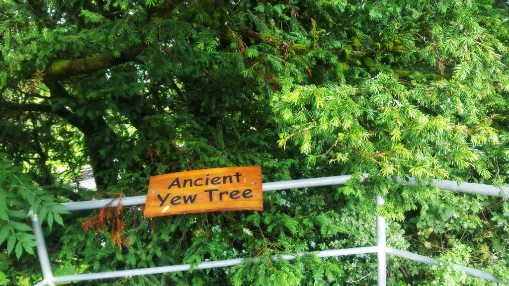

St. Brigid’s Day
1 February

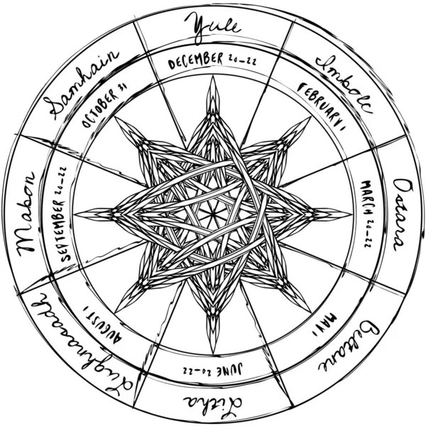
The wheel of time continues to turn. We are now halfway between the winter solstice and the spring equinox—which translates into Imbolc (pronounced Im-molk), a day to celebrate the changing of seasons—this time the coming of spring.

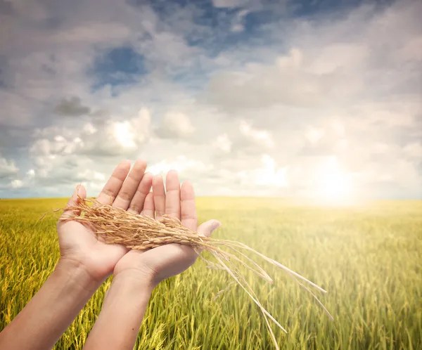
Imbolc, roughly translated to ‘in the belly of the mother’ (as in seeds/life in mother earth), has traditionally been celebrated the eve of February first. After long dark days and cold nights, the hope spring brings is at the core of Imbolc. It’s a time of renewal, creativity, and fertility. A time to reaffirm life and make plans for the coming harvest. I think this is something natural that most of us still do today, even if survival hasn’t been the main focus of our winter.
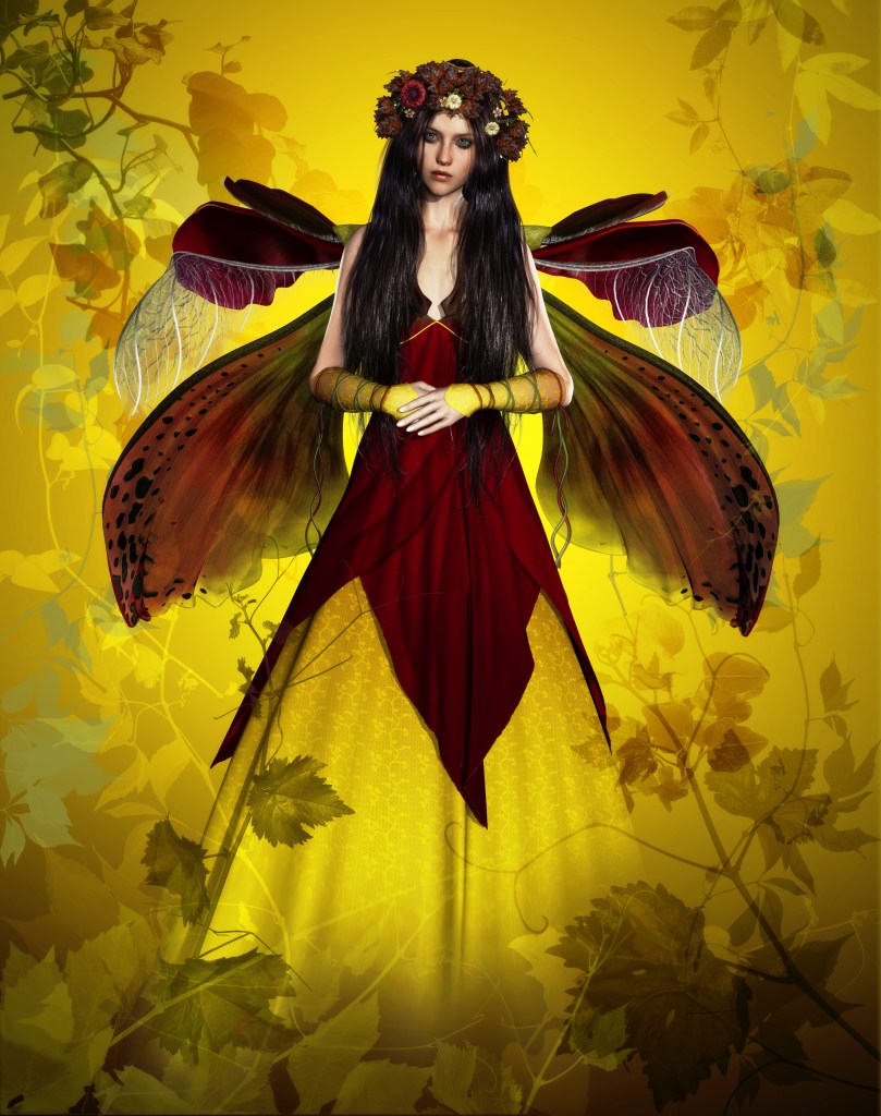
Origin: One of the most powerful goddesses of ancient Ireland was Brigid. She was a daughter of Dagda, god of the Tuatha de Dannan. Born within a flame, or at sunrise, she is a goddess of fire and hearth. She drank the milk of a mystical cow in the spirit world. Which is symbolic of life, fertility and abundance. Milk was food of the gods and is the first food of humans. She is also the goddess of fertility, healing, poetry, and prophecy. Interestingly, she is supposedly the first one to ‘keen’.
At that time, the Filid were the highest order of poets and historians. Once Druids were outlawed, the Filid took over their jobs and set up places of learning. In the beginning they worshipped Brigid and were the ones responsible for the festivals.
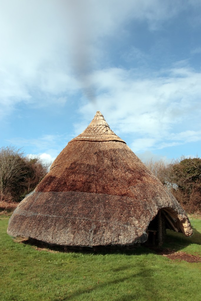
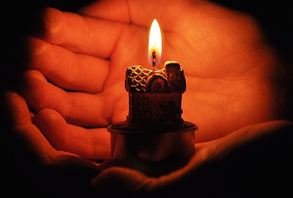
The night before Imbolc, families would make a small effigy of Brigid from bundles of rushes. She was dressed and place in a basket of white flowers and set out overnight. Later, children went house to house with the basket, bringing Brigid’s blessings for the coming year. In return children might receive bits of food or drink. Candles were lit throughout the night to symbolize more light in the coming days and to banish winter’s gloom. It’s easy for us to think how simple it is to light a candle, but back then, candles were a lot of work to make and not wasted, so this was a special honor to Brigid.

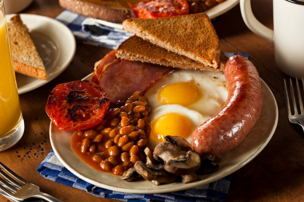
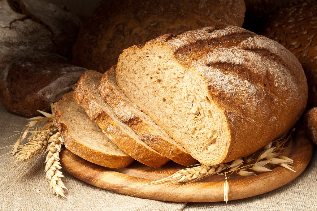
Like other festivals, a bonfire and food played a key part. Food was simple; baked goods, winter vegetables, dried fruit, cheese, ewe’s milk, and lamb. If weather permitted, spring cleaning could begin.
Pagans and Christians collided and traditions became mixed. According to Christian tradition, Brigid was born on 1 February about 453 AD. She was the daughter of a slave and a chieftain–Or of a Druid. She was a friend to St. Padraic. Having no interest in marrying, she wanted to create a monastery in Kildare. (Interestingly, at the same site as a shrine to the goddess Brigid.) She was known for her charity and healing powers. She became the first nun in Ireland. She died about 524 AD. She is the saint of Irish nuns, newborns, midwives, dairymaids, and cattle. (There is actually a longer list along these same lines.) The lighting of candles became Candlemas, on 2 February, to celebrate Jesus at the temple and the purification of Mary.
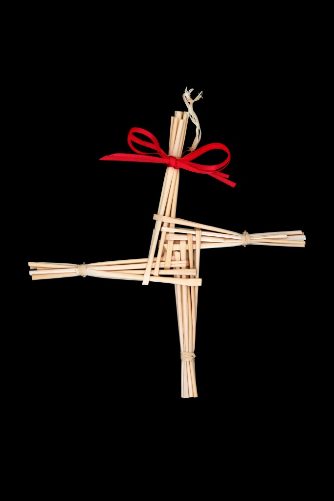
Imbolc became St. Brigid’s Day. An effigy was also made of her, but it was washed in the ocean and then surrounded by candles. Crosses are made out of rushes and used to decorate homes.
Imbolc is no longer celebrated as a whole, however, St. Brigid’s Day became a national holiday in the Republic of Ireland in 2023.
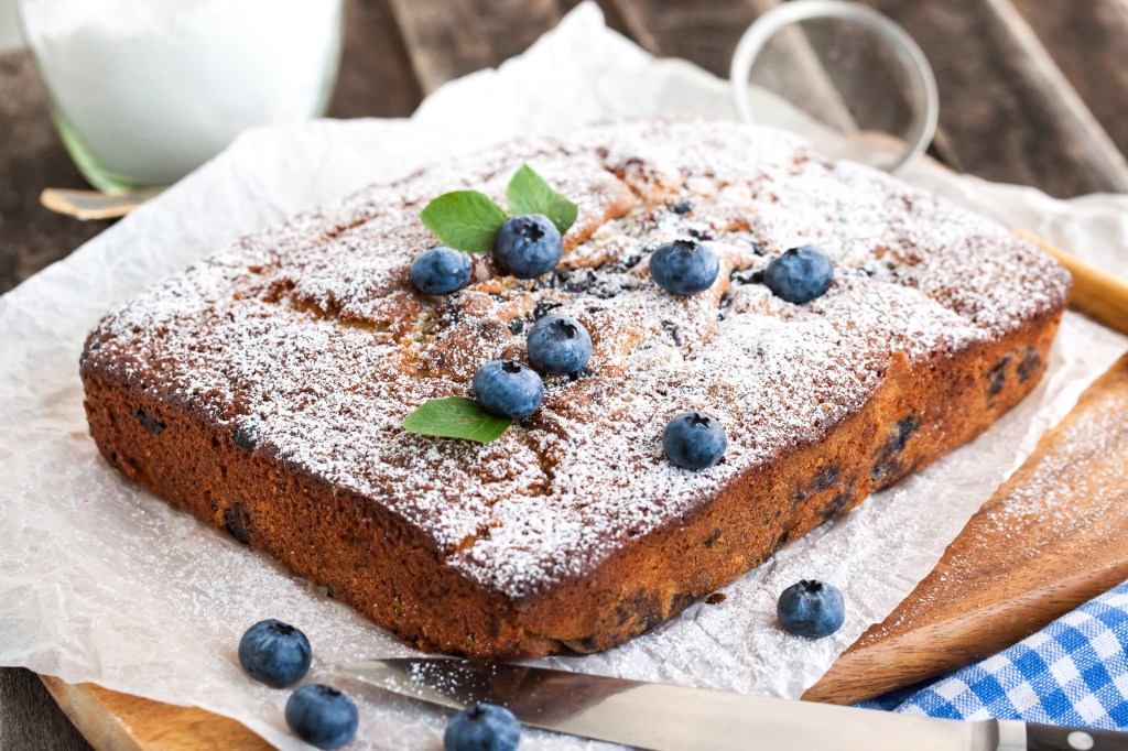
Mostly, you can honor Imbolc/St. Brigid’s Day by reflecting on goals for the new year, creating something, baking, cleaning, and lighting candles.
- Here are some sites you might enjoy:
https://www.mabonhouse.co/imbolc
I’m all for the baking and reflecting part. Making St. Brigid’s cross would be a fun project for children also. Do you think you’ll do anything to celebrate? Are the old ways worth keeping? I believe they should at least be remembered as we also remember our ancestors and the lives they led.